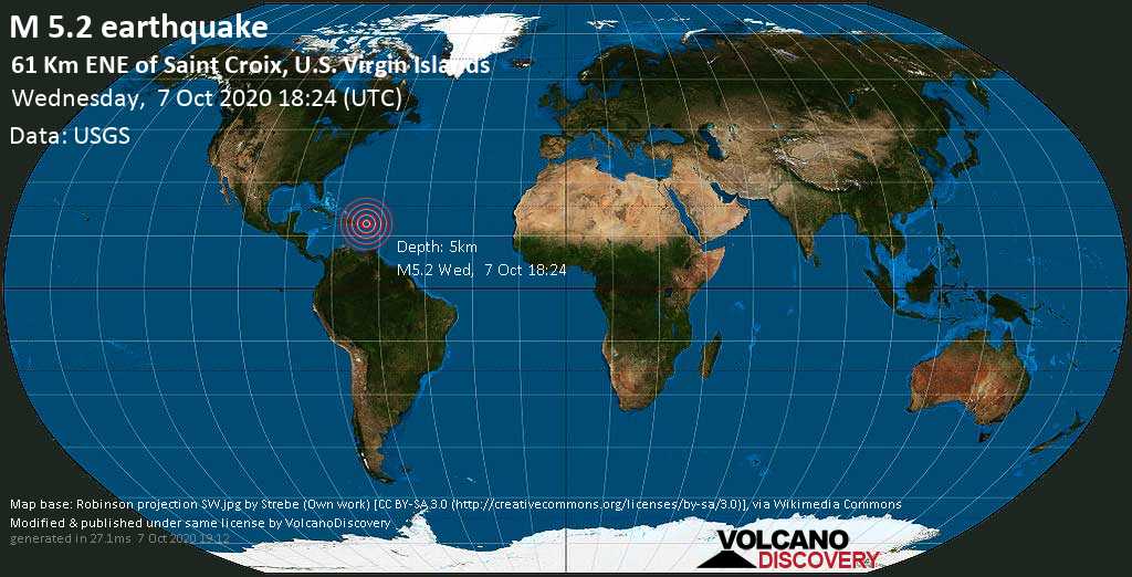
CHRISTIANSTED — An earthquake measuring 5.2 on the Richter Scale struck in open water within 38 miles east-northeast of St. Croix this afternoon, authorities said.
The tremor occurred at 2:24 p.m. today at a depth of 3.1 miles (5 kilometers), the U.S. Geological Survey said.
Erik Ackerson, a spokesman for the Virgin Islands’ Territorial Emergency Management Agency (VITEMA) said that no damage had been reported in the territory by midafternoon.
“It was a nice rolling shake,” Ackerson said.
“Earthquake of Magnitude: 5.2, Occurred on 10-07-2020, 14:24:34 AST, Epicenter latitude / longitude: 18.022°N / 64.2568°W,” the USGS said.
The USGS noted that Puerto Rico and the U.S. and British Virgin Islands are located between the North American and Caribbean plates, which have caused large earthquakes and deadly tsunamis.
The earthquake’s epicenter was 41.63 miles east-southeast of Cruz Bay, St. John and 37 miles southeast of Road Town, Tortola in the British Virgin Islands.
“Was that a quake?” Alia Kling wrote in the Facebook group “What’s Actully Going On St. Thomas” at 2:39 p.m. today. “Everything shook by Bolongo Bay.”
The USGS said the quake 42 miles from St. John measured 5.3 on the Richter Scale; Volcano Discovery said the quake 38 miles from St. Croix registered 5.2 on the Richter Scale.
On September 29, an earthquake of magnitude 4.0 on the Richter scale occurred about 37.28 miles from St. Croix.
The nearest volcano to St. Croix is located on Saba island about 73 miles away from Christiansted.
https://www.volcanodiscovery.com/earthquakes/quake-info/5939266/mag4quake-Oct-8-2020-61-km-NE-of-Saint-Croix-US-Virgin-Islands-British-Virgin-Islands.html
https://earthquake.usgs.gov/earthquakes/eventpage/pr2020281016/executive
https://www.volcanodiscovery.com/earthquakes/quake-info/5938563/mag5quake-Oct-7-2020-64-km-ESE-of-Cruz-Bay-US-Virgin-Islands-British-Virgin-Islands.html

