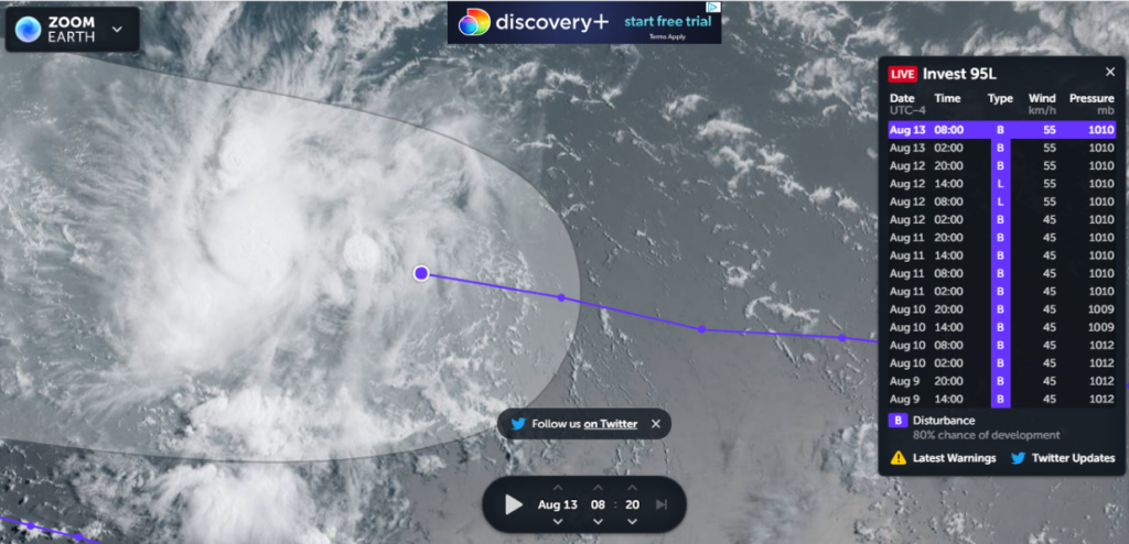
MIAMI — Invest 95-L, the low-pressure system moving across the Atlantic towards the Caribbean, could develop into a tropical cyclone by this weekend, the National Weather Service said this morning.
And a tropical wave could be in the U.S. Virgin Islands by tomorrow, according to the NWS.
“A tropical wave is expected for Saturday,” the NWS said “Another system, Invest 95L, follows quickly behind for Sunday into Monday. Flooding rains, gusty winds and hazardous marine conditions are possible. Moderate risk of rip currents continues for some beaches over the next several days.”
The National Hurricane Center said this morning that Invest 95L could morph into Hurricane Grace as early as Sunday — when it would be at or near the territory.
“A tropical wave near 60 West will cross the Lesser Antilles this morning, then move across the eastern Caribbean through early Saturday, the central Caribbean through late Sunday and the western Caribbean early next week,” the NHC said. “Scattered showers and thunderstorms will accompany the wave. Low pressure located well east of the Lesser Antilles is expected to reach portions of the Leeward Islands Saturday night and the Virgin Islands Sunday as a possible tropical cyclone. Expect strong gusty winds along with scattered to numerous showers and thunderstorms with this system.”
Shower and thunderstorm activity associated with the system, a broad area of low pressure about 700 miles west-southwest of the Cabo Verde Islands has increased significantly in organization since Wednesday, according to the National Hurricane Center’s 8 a.m. AST update.
However, environmental conditions are expected to be somewhat conducive for development to occur, the NHC reported, and a hurricane could form during the next couple of days, while the disturbance moves generally westward to west-northwestward at 10 to 15 mph across the tropical Atlantic.
The NHC gave the system a 80 percent chance of formation during the next five days.

