


SAN JUAN — After Hurricane Ian’s passage across Central Florida, people in the Caribbean are primed to monitor a new system several hundred miles east of the Windward Islands which could develop into a named storm this week.
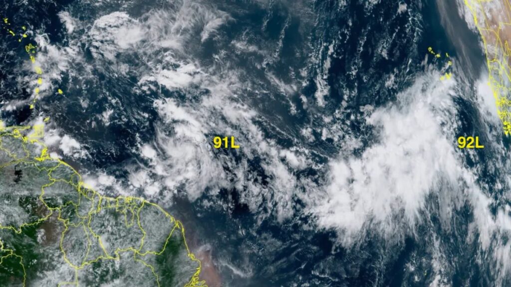
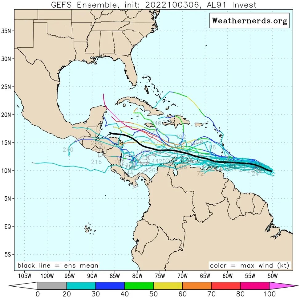
This tropical wave was designated Invest 91L on Sunday and was headed west at 15-20 mph. The system has favorable conditions for development, with warm waters near 30 degrees Celsius (86°F), light wind shear of 5 – 10 knots, and a reasonably moist atmosphere (a mid-level relative humidity of 65 percent).

The limited amount of heavy thunderstorm activity seen with 91L on satellite imagery Monday afternoon suggests that dry air to its north and west was hampering development. The wave had become more organized than on Sunday, though, and it had plenty of rotation.
91L will pass through the Lesser Antilles Islands on Wednesday night and enter the eastern Caribbean on Thursday, bringing gusty winds and heavy rain showers to the islands. Monday morning runs of the GFS and European ensemble model forecasts gave the wave modest support for development by late this week, when it is expected to be in the central Caribbean. A narrow ridge of high pressure to the north of the wave should keep it confined to the Caribbean, with a potential long-range threat to Central America next week. In its Tropical Weather Outlook issued at 2 p.m. EDT Monday, the National Hurricane Center (NHC) gave 91L 2-day and 5-day odds of development of 20 percent and 30 percent, respectively. A hurricane hunter aircraft is scheduled to investigate 91L today, if needed.

Tropical development also possible in the eastern Atlantic by midweek
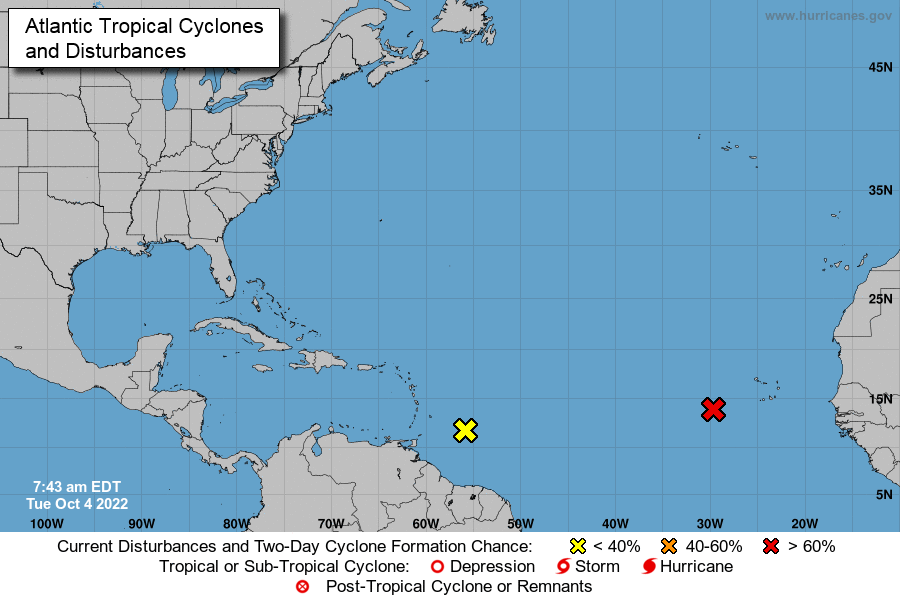
Another disturbance, this one in the far eastern Atlantic near latitude 25 degrees west, was designated Invest 92L on Monday. Showers and thunderstorms have expanded around this tropical wave, and the upper-level outflow has increased, with outflow jets running both north and south from it. Through Tuesday, 92L will benefit from light wind shear (less than 10 knots), a moist mid-level atmosphere (relative humidity 60-65 percent), and warm waters between 28 and 29 degrees Celsius (82-84 degrees Fahrenheit). By Wednesday, wind shear will increase dramatically as a weak, slow-moving upper low in the central Atlantic pulls 92L northward, likely capping its strength. If 92L happens to survive a few days beyond that, it will eventually get swept eastward by strong upper-level flow from North America into the Atlantic, so it is not expected to threaten any land areas.
At 2 p.m. EDT Monday, NHC gave 92L 2-day and 5-day odds of development of 60 percent and 70 percent, respectively. The next two names on the Atlantic list are Julia and Karl.
[wpedon id=23995]
By BOB HENSON and JEFF MASTERS