


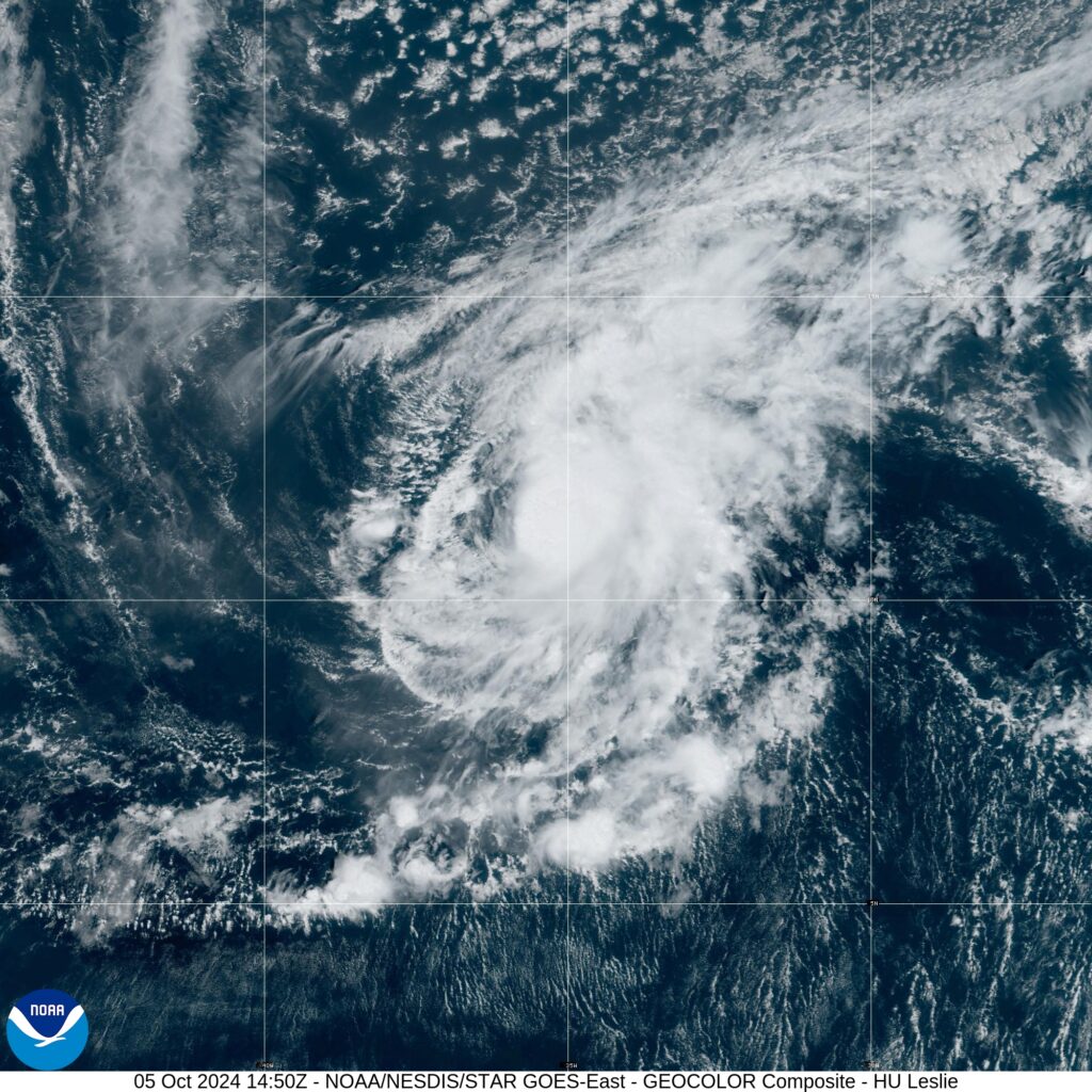
MIAMI — Leslie has strengthened into a hurricane in the Atlantic Ocean and isn’t threatening land, forecasters said.
The storm was located Saturday about 725 miles (1,170 kilometers) west-southwest of the southernmost Cabo Verde Islands and had maximum sustained winds of 75 mph (120 kph). There were no coastal watches or warnings in effect.
Meanwhile, Hurricane Kirk remained a Category 4 major hurricane, and waves from the system were affecting the the Leeward Islands, Bermuda, and the Greater Antilles, forecasters said. The storm’s swells were expected to spread to the East Coast of the United States, the Atlantic Coast of Canada and the Bahamas on Saturday night and Sunday.


Forecasters warned the waves could cause life-threatening surf and rip current conditions.
Kirk was expected to weaken starting Saturday, the center said.
Though there were no coastal warnings or watches in effect for Kirk, the center said those in the Azores, where swells could hit Monday, should monitor the storm’s progress.
Kirk was about 975 miles (1,570 kilometers) east-northeast of the northern Leeward Islands with maximum sustained winds of 130 mph (209 kph).
The storms churned in the Atlantic as rescuers in the U.S. Southeast searched for people unaccounted for after Hurricane Helene struck last week, leaving behind a trail of death and catastrophic damage.


Far Eastern Tropical Atlantic
A tropical wave is expected to move off the west coast of Africa on Monday or Tuesday. Some development of this system is possible thereafter while it moves westward or west-northwestward across the eastern tropical Atlantic.
The system is expected to move near or over the Cabo Verde Islands on Wednesday and Thursday, and interests there should monitor its progress.
* Formation chance through 48 hours…low…near 0 percent.
* Formation chance through 7 days…low…30 percent.

Gulf of Mexico (Invest 92-L)
Recent satellite-derived wind data indicate that an area of low pressure located over the southwestern Gulf of Mexico is broad and ill defined, but it is producing winds just below gale force.
Development of this system is expected, and a tropical or subtropical depression or storm is likely to form this weekend or early next week while moving eastward or northeastward across the Gulf of Mexico.
Interests on the Yucatan peninsula of Mexico, the Florida Peninsula, the Florida Keys, and the northwestern Bahamas should monitor the progress of this system.
Regardless of tropical or subtropical development, locally heavy rains could occur over portions of Mexico during the next day or two, and over much of Florida late this weekend through the middle of next week.
* Formation chance through 48 hours…medium…50 percent.
* Formation chance through 7 days…high…80 percent.

The Associated Press contributed to this report.

