


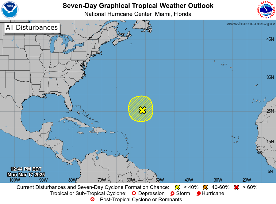
MIAMI — A non-tropical low located about 700 miles northeast of the northern Leeward Islands is producing gale-force winds and a large area of disorganized showers and thunderstorms, the National Hurricane Center said this afternoon.
“Additional development is not expected as it moves into an environment of strong upper-level winds and dry air tonight and Tuesday,” according to the NHC.
The NHC issued the statement at 12:20 p.m. EDT today.

No additional Special Tropical Weather Outlooks are scheduled for this system unless conditions warrant. Regularly scheduled Tropical Weather Outlooks will resume on May 15, 2025, and Special Tropical Weather Outlooks will be issued as necessary during the remainder of the off-season.
* Formation chance through 48 hours…low…10 percent.
* Formation chance through 7 days…low…10 percent.
High Seas Forecasts issued by the National Weather Service can be found under AWIPS header NFDHSFAT1, WMO header FZNT01 KWBC, and online at ocean.weather.gov/shtml/NFDHSFAT1.php
https://vifreepress.com/2025/03/partly-sunny-brief-morning-shower-or-2-and-a-high-of-85/