


The National Hurricane Center has started tracking a tropical wave west off of the African coast just weeks ahead of the 2025 Atlantic hurricane season.
It’s common to see tropical waves ahead of hurricane season, and this system is nothing out of the ordinary.
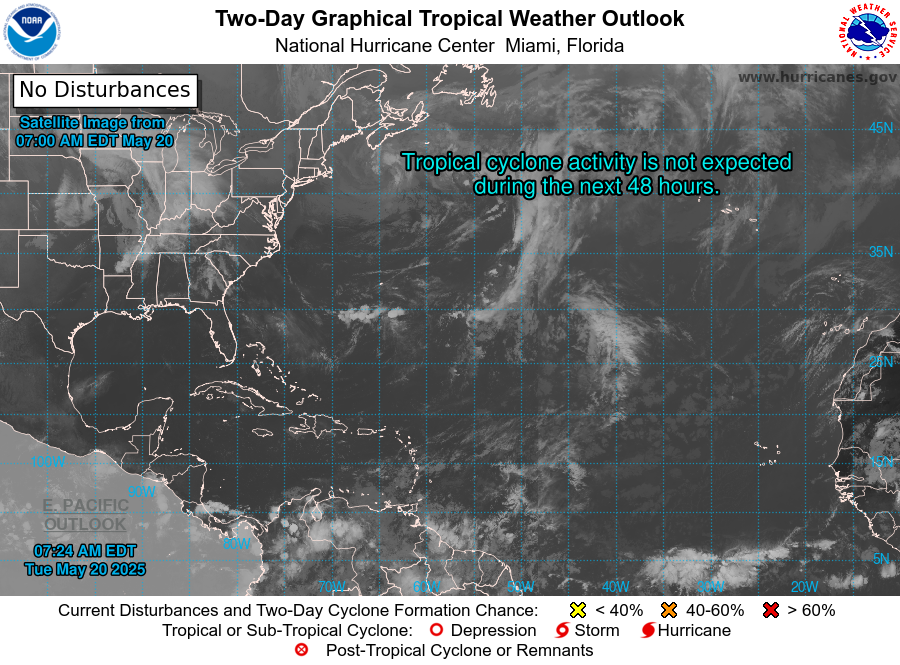
The NHC’s current tropical weather outlook doesn’t predict any tropical cyclone activity over the next seven days.
The weak disturbance is producing patches of thunderstorms and heavy rain in a band spread across a few hundred miles in the Atlantic Ocean near the equator as it moves west at about five to 11 mph.
What is a tropical wave?
Tropical waves are elongated areas of clouds and thunderstorms that tend to move from east to west, according to the National Weather Service.
They don’t always strengthen into tropical cyclones or hurricanes, but about 85% of all tropical storms can be traced back to tropical waves, according to AccuWeather.
It should be noted that tropical waves are atmospheric, not the traditional ocean waves some might expect.
What creates tropical waves?
In the Atlantic, tropical waves tend to form off the coast of Africa, where winds from the north and south of the equator converge and create a rising motion.
With enough moisture, instability and the right positioning relevant to the equator, the convergence can come together to create a tropical wave, kicking off thunderstorm activity.
The disturbances don’t always build up to become tropical cyclones, however. Tropical waves must contend with wind shear and Saharan dust as they track westward, both of which could cause any budding storm to fizzle out before reaching the Caribbean Sea’s warm waters and moist air.
When does the 2025 hurricane season start in Florida?
Florida follows the Atlantic hurricane season schedule, which always starts on June 1 and runs through Nov. 30. The Pacific hurricane season starts on May 15.
When will we see the first named storm of the hurricane season?
There is typically at least one named storm somewhere in the northern hemisphere by the start of the Pacific hurricane season on May 15. That hasn’t been the case this year.
“There have been 0 Northern Hemisphere named storms (e.g., >=39 mph) so far in 2025,” wrote Colorado State University Senior Research Scientist Phil Klotzbach on X, formerly Twitter.
“5 other years since 1950 have had 0 Northern Hemisphere named storms through 15 May: 1973, 1983, 1984, 1998, and 2024,” he continued.
The latest first named storm to spin up in the northern hemisphere was Ava, which formed in the eastern North Pacific on June 2, 1973, according to Klotzbach.
Despite spotting the first tropical wave of the season, there are currently no signs we’ll see a named storm within the next week.
When does hurricane season ramp up? What’s the worst month for hurricanes in the USVI?
The Atlantic hurricane season tends to start and slow, with the peak of the season being sandwiched in between.
Tropical activity will start to ramp up in August, peaking around mid-September and flattening out in early November.
Five of the most notable hurricanes to hit the U.S. Virgin Islands in the past 35 years happened in September: Hugo (1989), Irma (2017) and Maria (2017).
Is 2025 an El Niño year?
The Climate Prediction Center at the National Oceanic and Atmospheric Administration announced on Monday that El Niño Southern Oscillation (ENSO) has transitioned to neutral.
ENSO also plays a bigger role in vertical wind shear, which can inhibit tropical storm development.
During El Niño, hurricane activity tends to happen more frequently and at greater intensity in the Pacific. In the Atlantic, water temperatures tend to be milder and greater vertical wind shear helps reduce convection. The opposite happens during La Niña.
What are the latest hurricane predictions for 2025?
Predictions released as of May 13 predict an above-normal number of named tropical systems, ranging from:
- Named storms: 13-21
- Hurricanes: 7-10
- Major hurricanes: 3-5
