


ST. CROIX — While the ground may have felt steady in Frederiksted, the Caribbean Sea was anything but quiet late Tuesday afternoon.
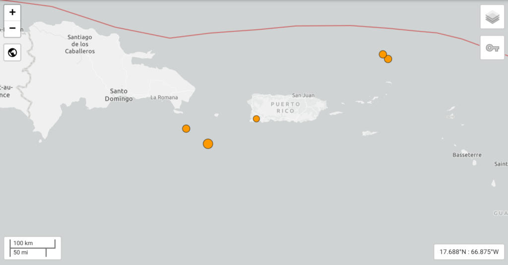
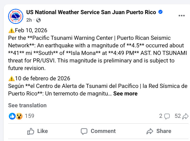
A magnitude 5.0 earthquake struck at 4:49 p.m. AST, centered approximately 58 kilometers (36 miles) south of Isla de Mona, Puerto Rico. The quake occurred at a depth of roughly 21 kilometers, according to the Puerto Rico Seismic Network and the USGS.
Key Facts for Residents:
- No Tsunami Threat: The Pacific Tsunami Warning Center (PTWC) confirmed shortly after the event that there is no tsunami threat in effect for the U.S. Virgin Islands or Puerto Rico.
- Widespread Activity: This follows a busy 48 hours for regional seismic sensors, including a 4.5 magnitude quake recorded north-northeast of Cruz Bay, St. John just yesterday.
- Felt Reports: Shaking was primarily reported in western Puerto Rico and the Dominican Republic, with no immediate reports of damage or injuries in the territory.
While Elon Musk and his team at SpaceX are focused on the vibrations of rocket launches, Mother Nature is providing her own “ground-shaking” updates right here in our backyard.
V.I. FREE PRESS ADVISORY: High rip currents remain in effect for north-facing beaches through Wednesday afternoon. Please exercise caution if you are near the shoreline.

INFOGRAPHIC: THE CARIBBEAN SHAKE-UP (FEB 8–10, 2026)
1. The “Daily Triple”: Significant Regional Quakes
While the Mona Passage event was the most recent, it’s part of a three-day pattern of moderate activity:
- Feb 10 (Today): Mag 5.0 – Caribbean Sea (South of Isla de Mona).
- Feb 10 (Early Morning): Mag 5.6 – Caribbean Sea (East of Jamaica). Felt strongly in Portland Parish.
- Feb 9 (Yesterday): Mag 4.5 – North of the Virgin Islands (85km NNE of Cruz Bay, St. John).
2. The “Swarm” Statistics
The USGS and Puerto Rico Seismic Network have recorded over 30 tremors in the Puerto Rico-Virgin Islands region in the last 24 hours alone.
- Most Active Zone: The Virgin Islands Platform and the Mona Passage.
- Magnitude Range: 2.8 to 5.0.
- Average Depth: 20–35 km (Shallow enough for residents to feel the “jolt” rather than a slow roll).
3. The “Coastal Double-Whammy”
It’s not just the ground; it’s the sea. The National Weather Service (NWS) San Juan has issued a rare concurrent warning:
- High Surf Advisory: Large breaking waves of 10–14 feet affecting north-facing beaches.
- Rip Current Risk: “Life-threatening” conditions through Wednesday afternoon.
- The Cause: A long-period northwest swell combined with recent seismic energy.
4. Tectonic Context: The Puerto Rico Trench
We are currently seeing “diffuse seismicity”—meaning the plates are grinding in multiple spots rather than one big break. While Elon Musk dreams of escaping Earth’s gravity, we are very much at the mercy of the Caribbean Plate as it slides eastward against the North American Plate.
V.I. Free Press ‘Ground Truth’ Take:
When the ground shakes and the surf is at 14 feet, it’s a reminder that we live on a very active rock. Stay off the jetties and keep your “Go-Bag” near the door—just in case Mother Nature decides to turn today’s light shaking into a full-blown wake-up call.
