By V.I. Free Press Staff
As we move into the last weekend of April, residents and visitors across the U.S. Virgin Islands should prepare for a significant shift in the weather. While the week is ending on a relatively tranquil note, a warming trend is rapidly developing that will see heat indices climb near or above 100°F through the weekend and into early next week. With winds veering from the south and southeast, coastal and urban areas will feel the brunt of this excessive heat, making hydration and sun protection a top priority for anyone spending time outdoors.
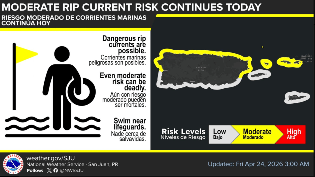
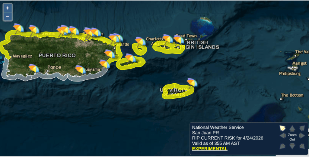
For those planning to hit the beach, the National Weather Service in San Juan indicates that a lingering northerly swell will keep rip current risks at a moderate level for all north-facing beaches through the next several days. While the turquoise waters may look inviting, swimmers should exercise caution on the northern shores of St. Croix, St. Thomas, and St. John, where these currents can be particularly deceptive and life-threatening. South-facing beaches are expected to remain much calmer, offering a safer alternative for less experienced swimmers.
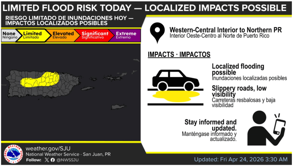
Looking further into the weekend, the atmospheric stability we’ve enjoyed will begin to erode. By Sunday afternoon, increasing moisture and a weakening inversion will likely lead to more active cloud cover and a higher chance of localized showers. This unsettled pattern is expected to intensify by Monday as an upper-level trough deepens over the region, potentially bringing heavy rainfall and the risk of ponding on island roadways. It’s a weekend to enjoy the sun while you can, but keep an eye on the horizon for those slow-moving afternoon showers.

VIFP WEATHER REPORT: The ‘Big Sweat’ Begins
- The Forecast: We are entering a transition period. While today (Friday) remains relatively tranquil with just a few slow-moving afternoon showers, a significant warming trend starts tomorrow.
- Heat Watch: By Sunday and into early next week, residents should prepare for “Real Feel” temperatures (heat indices) hitting 100°F or higher, especially in urban areas like Christiansted and Frederiksted.
- Rain Chances: A deepening upper-level trough is moving in for Monday/Tuesday, which could dump up to 2.25 inches of rain. Watch out for ponding on roads early next week.

BEACH REPORT & ADVISORY
- Rip Current Risk: The NWS has maintained a MODERATE risk of rip currents for north-facing beaches across the USVI through at least midweek.
- The Culprit: A lingering northerly swell. Even if the water looks inviting, the underlying pull is strong enough to exhaust inexperienced swimmers.
- Water Quality (DPNR): While we wait for the official weekend “Beach Advisory” from DPNR, recent data showed Cane Bay and Protestant Cay on St. Croix recently struggled with bacterial thresholds. If those slow-moving rains hit today, runoff will only make it worse.
- Safe Bets: Beaches like Rainbow Beach and Cramers Park have been holding steady as safe zones for swimming.