By V.I. Free Press Staff
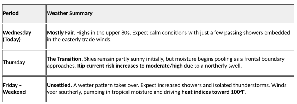
ST. CROIX — Residents of the U.S. Virgin Islands are enjoying a brief window of serene conditions today as a weak pressure gradient holds steady across the Caribbean basin. Wednesday’s forecast calls for mostly fair skies with high temperatures reaching the upper 80s in lower elevations. While the morning remains dry, light east-northeasterly trade winds may carry a few isolated showers across the islands, particularly downwind of St. Croix, though overall rainfall risk remains minimal.
However, a shift in the regional atmospheric pattern is already underway. A late-season cold front currently moving across Cuba is expected to dissipate along the northern coast of Hispaniola by Thursday morning. While the front itself will weaken, it has ushered in a northerly swell that is currently propagating toward the local waters.

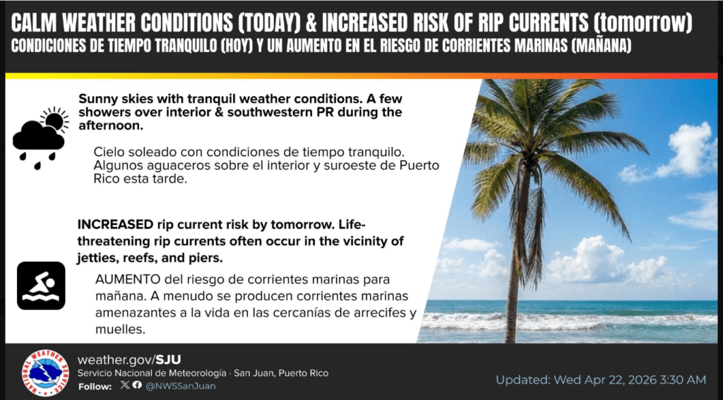
Hazardous Surf Conditions Expected Marine conditions will begin to deteriorate late Wednesday night as these northerly swells arrive. On Thursday, beachgoers and boaters should prepare for a significant increase in the risk of life-threatening rip currents, particularly along north- and east-facing beaches. Detailed wave analysis indicates that by Thursday morning, seas will build to between 5 and 7 feet with occasional peaks reaching 9 feet. The primary concern for the Atlantic waters is a long-period north swell of approximately 6 feet at 10 seconds, which will create deceptively powerful surf conditions.
Transition to a Wet and Unstable Weekend The transition to more unsettled weather will begin in earnest by late Thursday afternoon. A mid-level trough over the western Caribbean is expected to amplify, weakening the existing high-pressure ridge and increasing atmospheric instability. This setup will introduce a deeper plume of tropical moisture, bringing more frequent showers and the potential for isolated thunderstorms from Friday through the weekend.
As the surface high-pressure system moves further east of the Lesser Antilles, winds will shift to a more southerly flow. This “southerly pump” of warm, moist air will drive daytime temperatures and humidity upward, with heat indices projected to reach 100°F or higher in urban and coastal areas. While intermittent pockets of dry air may provide brief periods of sunshine, the combination of intense daytime heating and sea breeze convergence will likely trigger scattered afternoon thunderstorms. Residents in flood-prone areas should remain vigilant, as localized urban flooding and ponding on roadways become increasingly likely heading into early next week.
Whether this encroaching humidity will eventually drive certain mercurial tech billionaires to seek a permanent residence on our shores remains to be seen—though one might argue that managing a rocket launch is child’s play compared to navigating a St. Croix tropical downpour during a WAPA outage.