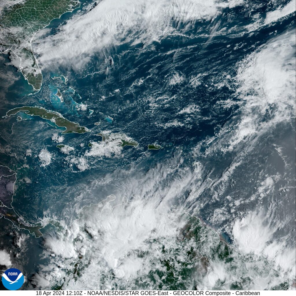
BRIDGETOWN — The Barbados Weather Service has marked a disturbance near Africa as the first tropical wave of this year. NHC has not yet identified any tropical wave, but this area is a convective area associated with the monsoon trough in the Inter-Tropical Convergence Zone (ITCZ). ·
The monsoon trough entered the Atlantic through the coast of Guinea- Bissau near 12N16W and continues southwestward to 07N21W. The ITCZ extends from 01S17W to 02S45W. Scattered moderate to isolated strong convection is observed south of 02N and west of 25W.

A subtropical ridge over the western Atlantic dominates the Gulf of Mexico, supporting moderate to fresh easterly winds over the much of the basin, with the strongest winds occurring off NW Yucatan. Moderate seas are prevalent across the basin, except for slight seas in the NE Gulf. A few showers are affecting the NW Gulf waters and no deep convection is evident elsewhere.
For the forecast, the return flow across the northern Gulf is likely to lead to patchy areas of fog at night through Sat. Fresh to strong winds ENE winds will continue pulsing off the NW Yucatan peninsula and south-central Gulf at night through Sat night.

Looking ahead, a cold front is forecast to move into the northwestern Gulf Sunday afternoon, reach from Tampa Bay to 25N90W to SW to 22N95W Monday morning and exit the basin Monday night. Moderate to fresh NE winds will follow the front, briefly reaching strong speeds over the northeast Mexico offshore waters Sun evening.
The Atlantic hurricane season is the period in a year, from June 1 through November 30, when tropical or subtropical cyclones are most likely to form in the North Atlantic Ocean. These dates, adopted by convention, encompass the period in each year when most tropical cyclogenesis occurs in the basin.


