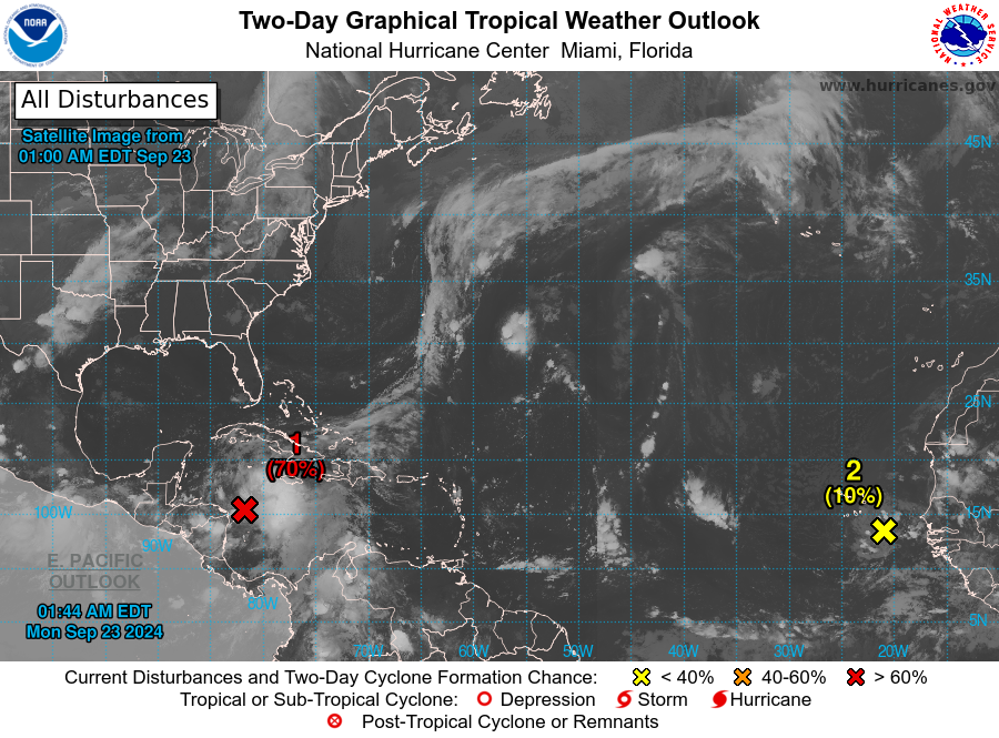
MIAMI — The National Hurricane Center is closely monitoring a growing area of tropical thunderstorm activity in the Caribbean, with a high likelihood of becoming the season’s next named tropical cyclone by the week’s end.
Where will it go?
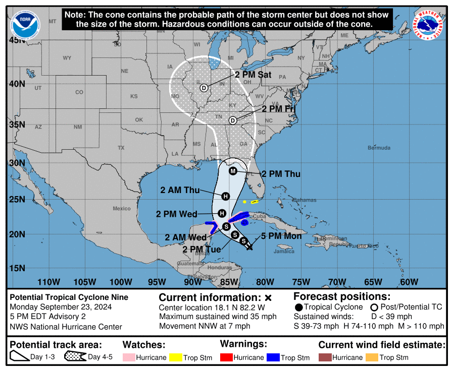
Though precise tracking remains uncertain, coastal areas from Mobile to Tampa should brace for a potentially rapid intensification, as the system is projected to surge northward toward the Gulf Coast.
The most likely scenario is a landfall in the Florida Panhandle.
How strong will it get?
The atmosphere will be primed, and the extremely warm Gulf waters will be ready to fuel a strengthening storm from Wednesday to Thursday. The next name on the list is Helene.
Some forecast model guidance predicts rapid intensification over the northern Gulf.
Rapid intensification occurs when a storm’s peak wind speed increases by 30 knots (35 miles per hour) in 24 hours or less. There is a chance that this storm could be a Category One or Two hurricane before hitting land on Thursday.
How will it affect Alabama?
The local impact in North and Central Alabama will be difficult to determine until there is a clearer forecast path for the storm.
The weather varies greatly from one side of the storm to the other, but we do expect to be near enough to have some breezy, wet weather on both Thursday and Friday this week.
The Weather Prediction Center (WPC) has already outlooked a large part of Alabama, Georgia, and Florida with a risk of some flooding on Thursday and Friday.