SAN JUAN — Wet and unstable weather conditions are expected to continue into the next few
days, the National Weather Service said Wednesday evening.
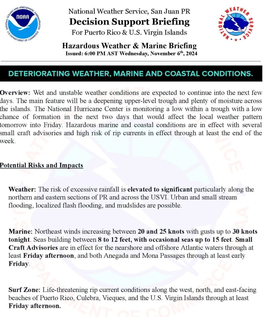
The main feature will be a deepening upper-level trough and plenty of moisture across the islands, according to the NWS.
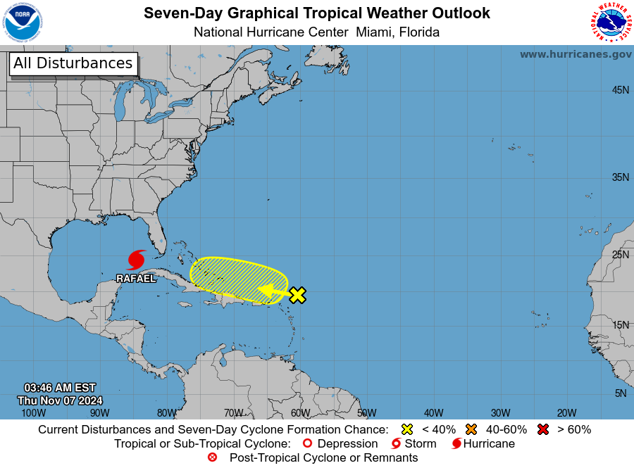
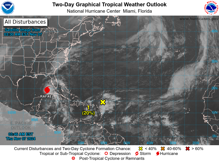
The National Hurricane Center is monitoring a low within a trough with a low chance of formation in the next two days that would affect the local weather pattern today into tomorrow.
Hazardous marine and coastal conditions are in effect with several small craft advisories and high risk of rip currents in effect through at least the end of the week.

Potential Risks and Impacts
Weather: The risk of excessive rainfall is elevated to significant particularly along the northern and eastern sections of Puerto Rico and across the U.S. Virgin Islands. Urban and small stream flooding, localized flash flooding, and mudslides are possible.
Marine: Northeast winds increasing between 20 and 25 knots with gusts up to 30 knots Wednesday night, building between 8 to 12 feet, with occasional seas up to 15 feet. Small Craft Advisories are in effect for the nearshore and offshore Atlantic waters through at least Friday afternoon, and both Anegada and Mona Passages through at least early Friday.
Surf Zone: Life-threatening rip current conditions along the west, north, and east-facing beaches of Puerto Rico, Culebra, Vieques, and the U.S. Virgin Islands through at least Friday afternoon.


