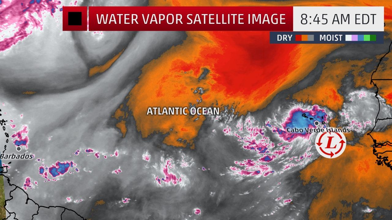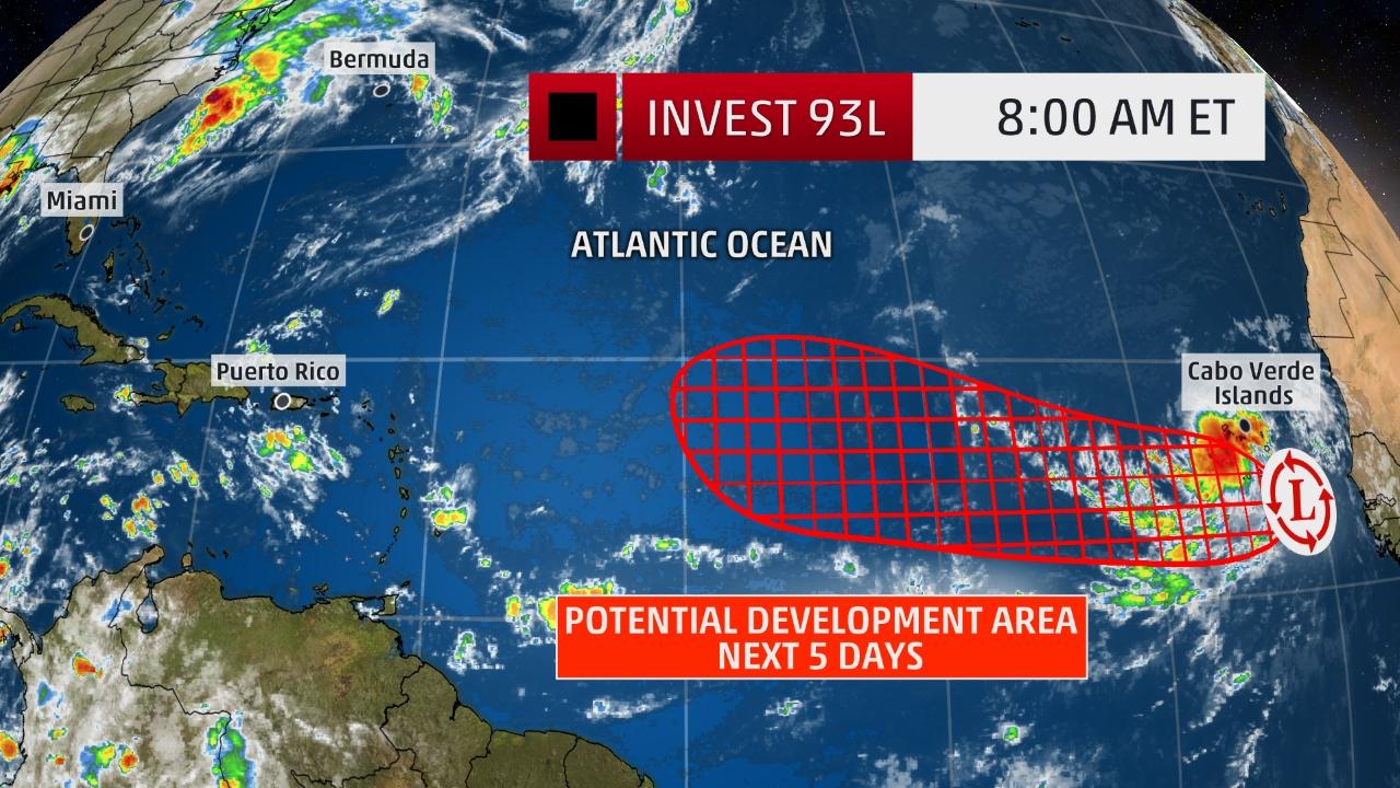
MIAMI — The National Hurricane Center (NHC) said this morning that it is watching a new area of low pressure near the African coast will likely develop into a tropical depression or tropical storm this week as it veers towards the Virgin Islands and Puerto Rico.
The NHC has named the system Invest 93L, which is a convention it uses to identify weather patterns that could eventually form into a tropical cyclone.
In the near-term, Invest 93L will bring locally heavy rain and gusty winds to the Cabo Verde Islands through tomorrow.
The area of low pressure is embedded in a generally moist region of the eastern Atlantic, though dry air lurks to its north and west. In addition, it should move through a portion of the Atlantic Ocean where upper-level winds are mostly favorable for development the next few days.
After passing near the Cabo Verde Islands, the tropical disturbance will then continue to move westward along the southern periphery of a North Atlantic high-pressure system, with no immediate threat to any land areas.
Actually, Invest 93L might not reach the longitude of the Lesser Antilles (eastern Caribbean) until the early or middle portion of next week.
It’s far too early to determine if this new system will pose any threat to the Lesser Antilles and if it will eventually ever pose a threat to other locations, including the U.S.
Suffice to say, there is plenty of time to watch this system.
We are in the heart of the hurricane season, so we monitor every potential Atlantic system closely for development.
Check back with weather.com for updates on this system through the weekend ahead for the very latest.

