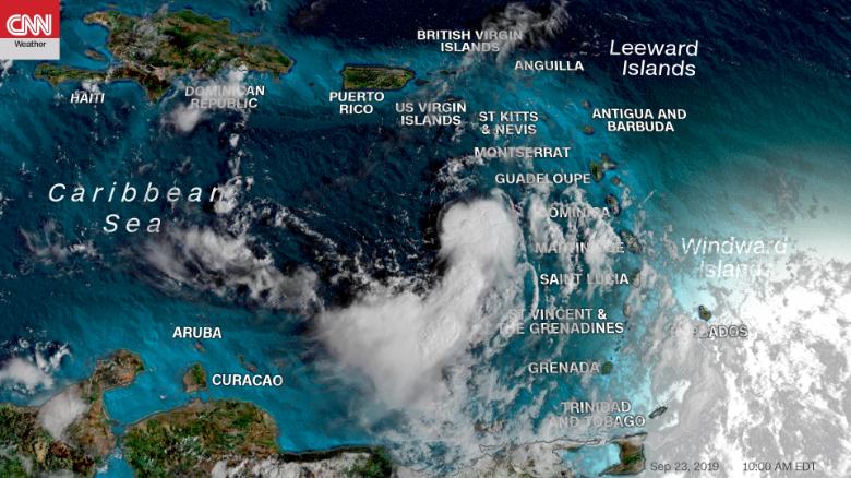
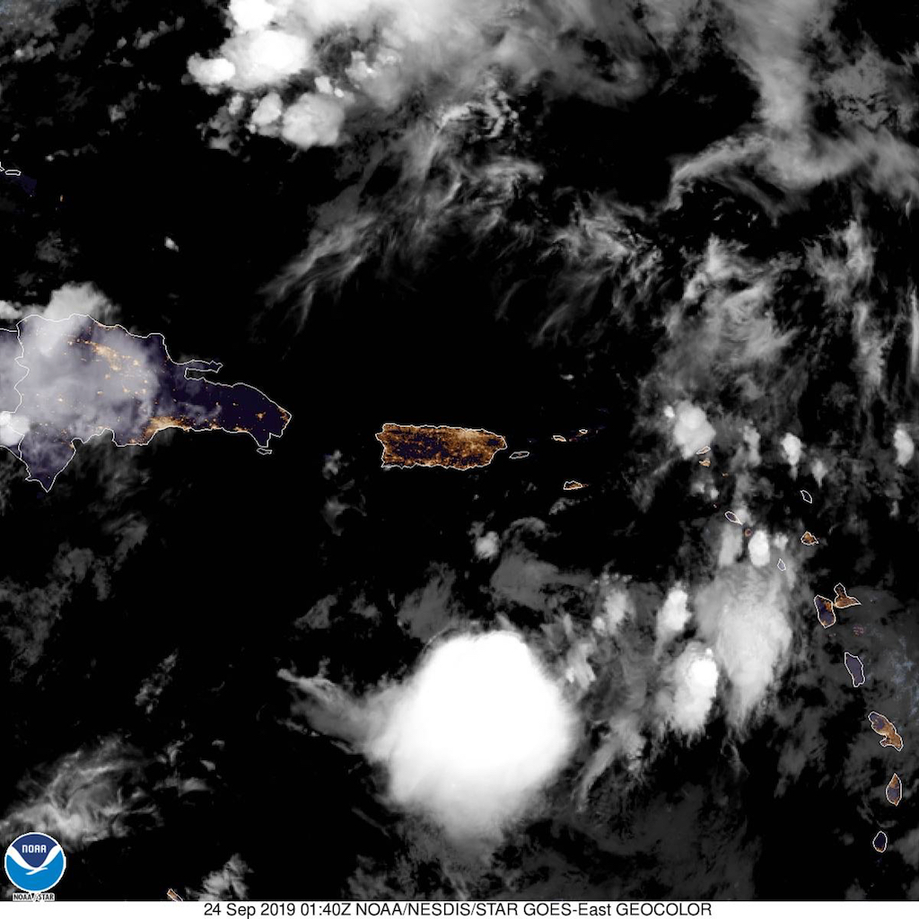
CHRISTIANSTED — Tropical Storm Karen slowed to a tropical depression as it made its way towards the U.S. Virgin Islands and Puerto Rico today while Tropical Storm Lorenzo formed in the Atlantic Ocean.
According to the National Hurricane Center’s 5 p.m. update, Karen’s maximum sustained winds had decreased to 35 mph and was moving north-northwest at 13 mph, targeting the USVI, BVI and Puerto Rico tomorrow. Its center was located 135 miles south-southwest of St. Croix.
“Visible satellite imagery and surface observations suggest that there is a broad low-level circulation, but the aircraft struggled to find a well-defined center,” said NHC senior hurricane specialist Daniel Brown. “The environment ahead of Karen is forecast to remain quite hostile, with dry mid-level air and strong northeasterly shear continuing overnight.”

The storm had tropical-storm-force sustained winds of 40 mph since Sunday with a wind field expanding out 105 miles. While the storm is not projected to grow in strength before passing the Caribbean islands tonight or early tomorrow, the U.S. Virgin Islands, British Virgin Islands and Puerto Rico remain under a tropical storm warning.
The islands could receive between two to four inches rain with isolated areas of eight inches, which could bring flash flooding and mudslides, especially in Puerto Rico, the NHC warned.
Meanwhile, U.S. Virgin Islands Governor Albert Bryan, Jr. said today that the territory’s government offices would close at noon tomorrow in anticipation of the weakening storm.
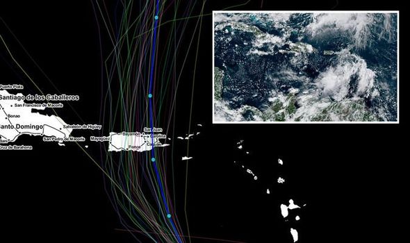
The NHC’s five-day forecast model shows the storm eventually slowing and potentially shifting west after heading north out of the region and back into the Atlantic.
“The latter portion of the track forecast is still quite uncertain as the dynamical model guidance and their ensembles still exhibit large spread,” Brown said.

Various computer forecasts show the storm might end up moving towards Georgia and South Carolina, but another model with the National Oceanic and Atmospheric Administration shows a possible turn toward Florida by the end of the week.
In the short-term, NHC meteorologists predict Karen won’t change in wind speed in the next 24 hours.
Long-term projections, though, have it rebuilding strength once it heads back into the Atlantic with 65 mph winds by Saturday.
“After Karen moves north of Puerto Rico over the western Atlantic, it may find itself in a more favorable upper-level environment, but given the current structure of the cyclone it should take some time for any potential restrengthening to occur,” Brown said.
Farther east, a tropical wave that moved off the African coast in the Atlantic became the 13th tropical depression late Sunday, and officially became Tropical Storm Lorenzo on Monday.
As of 5 p.m. Lorenzo is located 255 miles south-southwest of the Cabo Verde Islands with 45 mph winds and headed west at 16 mph.
The projected path keeps it south of the Cabo Verde Islands, and while it is projected to grow into a hurricane by Wednesday, its five-day path keeps it in the mid-Atlantic with no threat to land.
Meanwhile, the 10th named storm of the season, Tropical Storm Jerry, maintained intensity after dropping from hurricane strength earlier this week. As of 5 p.m. Monday, the storm still had 65 mph winds as it headed north-northwest at 6 mph about 340 miles southwest of Bermuda, which is now under a tropical storm warning.

The storm, which has tropical-storm-force winds out to 175 miles is no longer predicted to regain hurricane strength as it passes near Bermuda, which last week dealt with the effects of Hurricane Humberto.
Also, a new tropical disturbance formed in the Gulf of Mexico this afternoon near the Yucatan peninsula, and is expected to move slowly west. The system has a 10 percent chance of developing into a tropical depression in the next 48 and a 20 percent chance of doing so in the next five days.
To read more:
https://weather.com/en-CA/international/videos/video/tropical-storm-warning-issued-for-puerto-rico

