CHARLOTTE AMALIE — For the past several months a team of scientists, engineers, researchers and stormwater related experts have been surveying and collecting data as part of a USVI Department of Planning and Natural Resources (DPNR) project to assess eight high priority watersheds of concern.
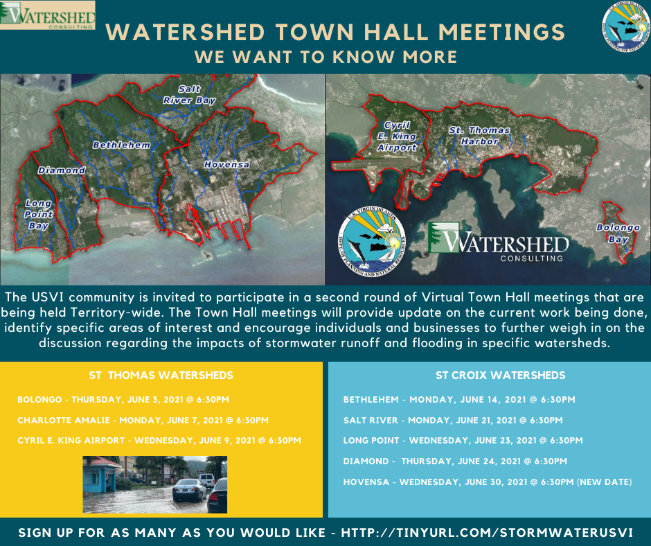
On St. Thomas, the specific watersheds include the Bolongo, Charlotte Amalie and the Airport watersheds. On St. Croix, these include the Salt River Bay, Hovensa, Bethlehem, Diamond and Long Point Bay watersheds. The watersheds of focus encompass areas with critical infrastructure including the airport and major roadways; commercial, government and residential investments; and agricultural activity.
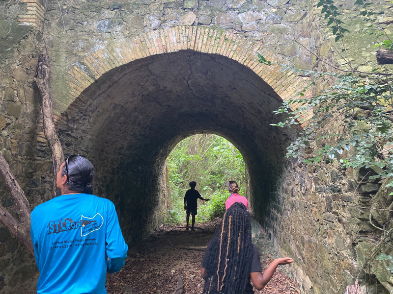
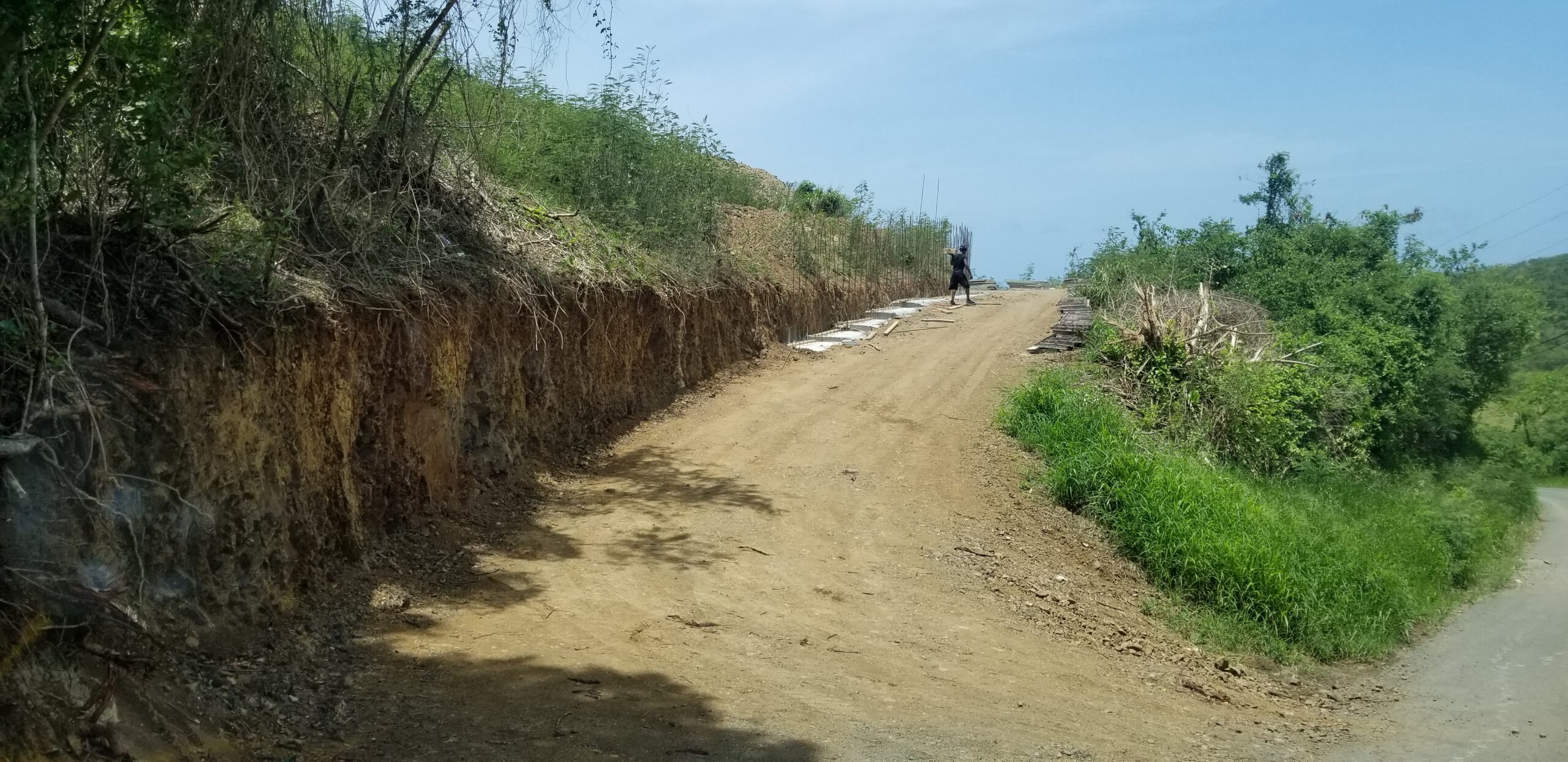
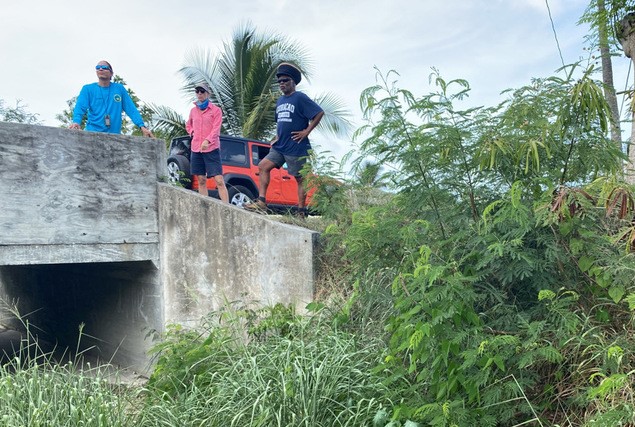
The team is on the ground this week on St. Croix and St. Thomas to accomplish specific tasks to further advance the watershed management plans. These actions include field visits to highest priority best management practice intervention sites. These are locations where the team has initially identified opportunities for measures like bioretention, underground chambers, road stabilization, and gabion check dams to slow and filter stormwater and to recharge groundwater aquifers.

Andres Torizzo with Watershed Consulting explained “We are also analyzing guts systems to determine where the most serious erosion exists, and where that erosion is in conflict with other important assets such as wastewater systems.” In addition, the team is scouting the best locations for an upcoming storm water sampling program, where they will be collecting storm water samples from all of the study watersheds to understand the chemical nature of the runoff and how that varies and could impact natural resources. Torizzo said “We are fortunate to have excellent help from the community residents, DPNR and Olasee Davis from UVI, an incredible source of local historical knowledge and inspiration!”
In addition to the field work, there are a series of watershed specific virtual Town Hall meetings taking place throughout the month of June. The Town Hall meetings provide individuals and businesses with an opportunity to weigh in on the discussion regarding the impacts of stormwater runoff and flooding in our communities. We thank the St Thomas community for their input last week and are now shifting the focus onto St Croix.
The insight and recommendations obtained from these discussions will be used to identify watershed-specific issues, identify attainable solutions to reduce water quality degradation, improve flood resiliency, and develop comprehensive Watershed Management Plans. The Watershed Management Plans will be used to inform local agencies and institutions regarding site-specific options for flood reduction and water quality improvement.

The meetings are open to the public and will be held electronically via Zoom. To request access to this electronic meeting, please register at the links below prior to the meeting and connection information will be provided to you by email.
Salt River Watershed – June 21 @6:30pm https://watershedvt.maps.arcgis.com/apps/MapSeries/index.html?appid=bc4e3799113d476ea23795fe4e2239b1
Long Point Watershed – June 23 @ 6:30pm https://watershedvt.maps.arcgis.com/apps/MapSeries/index.html?appid=bc4e3799113d476ea23795fe4e2239b1
Diamon Watershed – June 24 @ 6:30pm https://watershedvt.maps.arcgis.com/apps/MapSeries/index.html?appid=bc4e3799113d476ea23795fe4e2239b1
Hovensa Watershed – June 30 @6:30pm https://watershedvt.maps.arcgis.com/apps/MapSeries/index.html?appid=bc4e3799113d476ea23795fe4e2239b1
If you would like to watch the proceedings, but not participate, you can connect to our Facebook.com/stormwaterUSVI page. The livestream of the meetings will begin a few minutes prior to scheduled times.
For more information on this project, please visit our website tinyurl.com/stormwaterUSVIe57c1274-b308-4959-a34d-4ce7c4b79407


