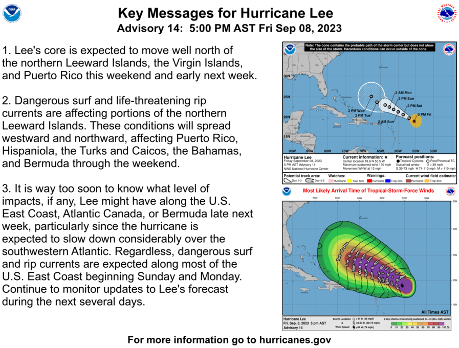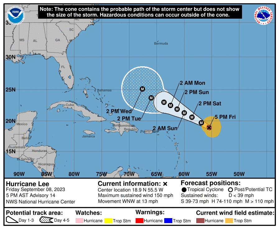
SAN JUAN — The core of powerful Major Hurricane Lee now located at latitude 18.9 N and longitude 55.5 W, is expected to pass well north of the U.S. Virgin Islands and Puerto Rico from Sunday onward.
In the latest National Hurricane Center update, Lee is still a Category 4 Major Hurricane with sustained winds up to 150 MPH. We have high confidence that Lee will move at a safe distance from the islands from Sunday onward.
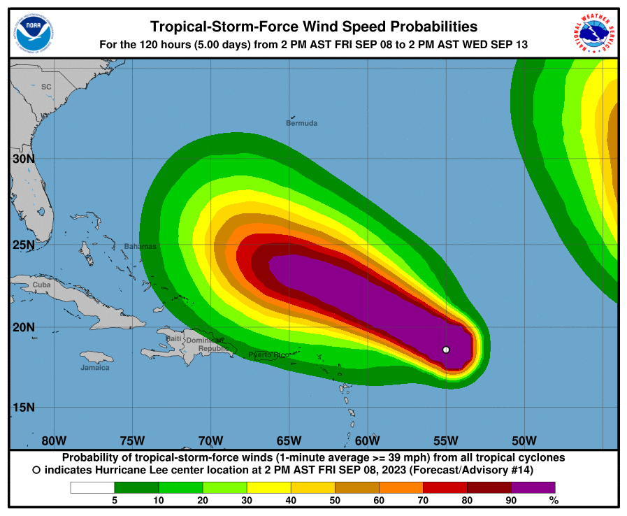
Potential Threats: The swell generated by Lee is the main threat for Puerto Rico and the U.S. Virgin Islands from Sunday through the middle of the following week.
Seas will build between 10 and 15 feet, mainly across the Atlantic and eastern waters of the islands. Higher seas are possible due to Lee’s extreme winds as it moves more than 300 miles from the
Northeast Caribbean.
These swells will also cause dangerous large breaking waves along the north and east-facing
beaches of Puerto Rico and the U.S. Virgin Islands, likely resulting in high surf and life-threatening rip currents.
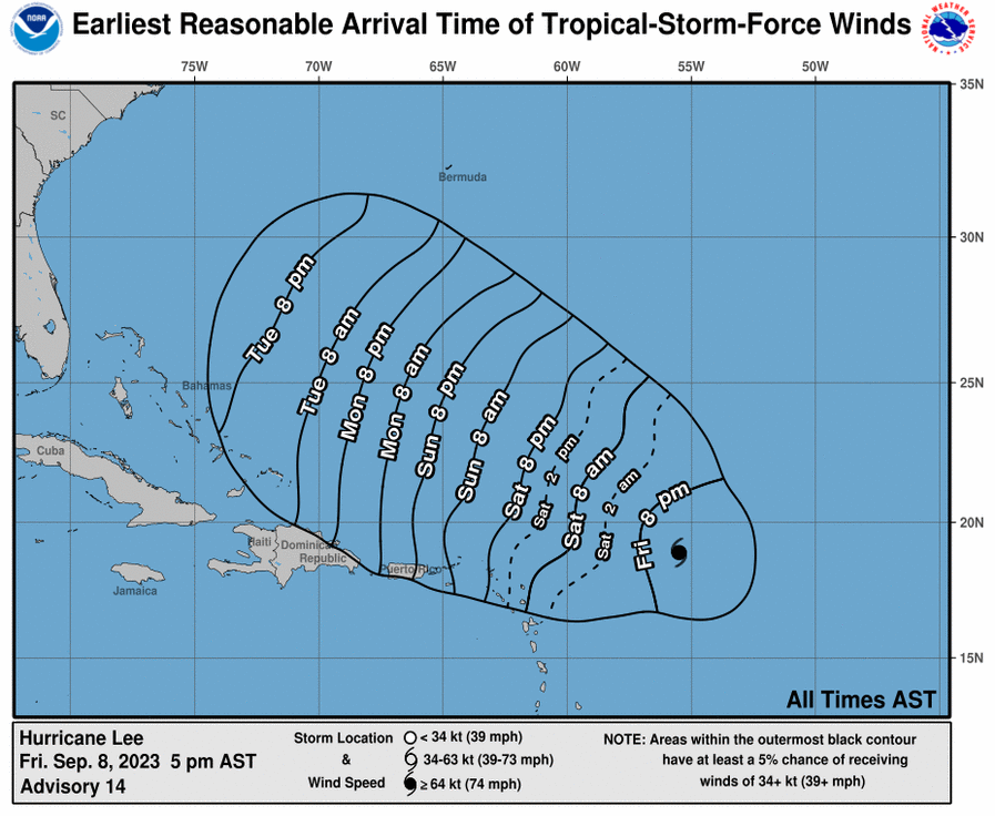
Beach erosion and coastal flooding are likely with these swells, especially after late Sunday night into Monday.
Although there is still high uncertainty regarding rainfall- and possible wind-related impacts, we can expect between 1 and 3 inches of rain with isolated higher amounts each day during the weekend, especially in the afternoons.
The next tropical update from NWS San Juan is scheduled for Saturday, September 9th, at 6 PM or sooner if conditions warrant.