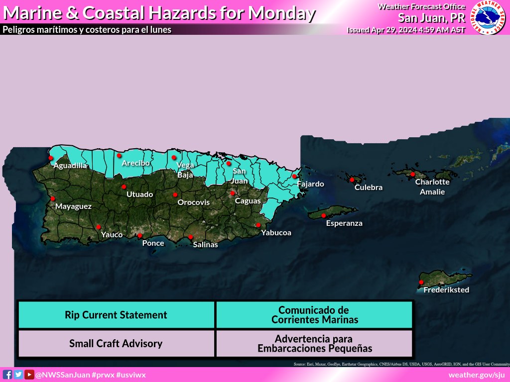
SAN JUAN — Increasing winds and the arrival of a northerly swell will continue deteriorate marine and coastal conditions through at least mid-week, the National Weather Service said today.
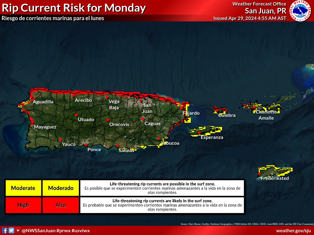
There is a high risk of life-threatening rip currents today, according to the NWS.
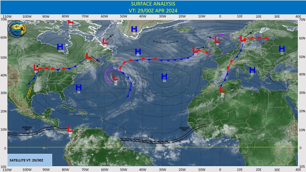
The subtropical ridge north of the Greater Antilles continues to sustain fresh to strong easterly winds fresh to locally strong easterly trade winds south of Hispaniola, Windward Passage and
Gulf of Honduras.
Seas in these waters are 6-8 feet. Moderate to locally fresh easterly breezes and 4-6 feet exist in the remainder of the central and northwestern Caribbean waters.
Elsewhere, moderate or weaker winds and slight to moderate seas prevail. Pockets of low-level moisture traveling across the Caribbean are producing isolated, weak showers.
For the forecast, the aforementioned ridge will gradually weaken over the next few days. Fresh to locally strong easterly winds in the Gulf of Honduras, Windward Passage and offshore southern
Hispaniola will diminish midweek.
Otherwise, moderate to locally fresh easterly winds will prevail. Northerly swell will push rough seas through the passages in the NE Caribbean through the middle of the week.