
SAN JUAN — Forecasters are keeping an eye on a disturbance aiming towards Hispaniola and two other tropical waves that are moving slowly towards the Caribbean, according to the National Weather Service.
Tropical Wave #3 of 2024 in the Atlantic has already been labeled, as one more disturbance joins the parade of systems approaching — or already in — our region.
A combination of dry air and strong wind shear are expected to prevent any tropical development across most of the Atlantic through the end of the week.
On average, about 60 tropical (atmospheric) waves form each year between April and November.

A tropical wave is in the central Caribbean south of 21N with axis near 74W, moving westward at 10 to 15 knots. Scattered showers are across Hispaniola and adjacent waters, including the Windward Passage.
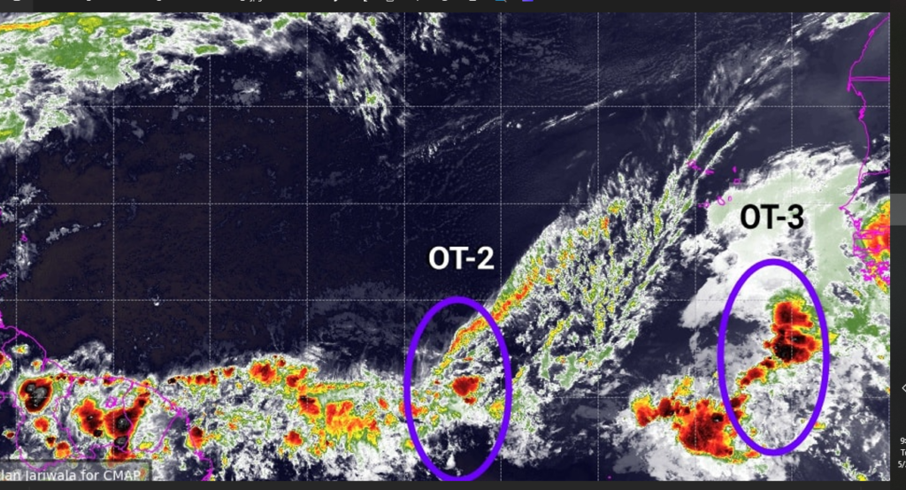
A tropical wave is in the central Atlantic from 01N to 08N with axis near 49W, moving westward at about 15 knots. Scattered moderate convection is from 00N to 08N between 48W and 58W.
A tropical wave is east of the Cape Verde Islands from 01N to 14N with axis near 21W, moving westward at 15 to 20 knots. Scattered moderate convection is from 01N to 09N between 20W and 30W.

