MIAMI — In the highest hurricane season forecast they have ever issued in May, National Oceanographic and Atmospheric Administration forecasters said Thursday that the coming months may be exceptionally busy.
“The forecast for named storms, hurricanes and major hurricanes is the highest NOAA has ever issued for the May outlook,” Rick Spinrad, the agency’s administrator, said in a news conference. “This season is looking to be an extraordinary one in a number of ways.”
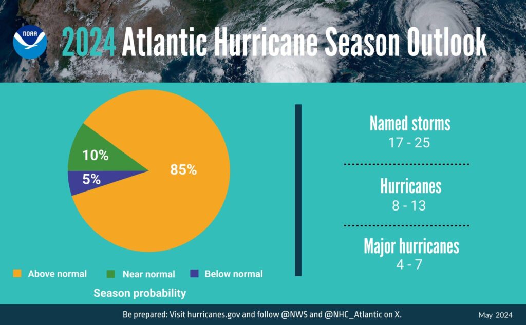
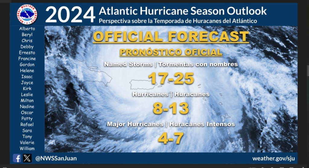
NOAA predicts eight to 13 hurricanes, and 17 to 25 named storms. Storms get names when their wind speeds reach 39 mph or higher.
Given the near-record warmth in much of the Atlantic Ocean and a strong chance of La Niña conditions, forecasters said there is an 85% chance of an above-normal season along the Atlantic seaboard.
NOAA is far from alone in making such a prediction.

Nearly every public, private and government hurricane forecast service is expecting a high season for hurricanes and named storms, according to a website operated by Colorado State University and the Barcelona Supercomputing Center, which tracks predictions each year. The site has aggregated early hurricane forecasts from 23 centers.
The NOAA forecast is in line with the aggregate. On average, the services have predicted 23 named storms, 11 hurricanes and five major hurricanes (the designation given to storms that reach Category 3 or higher, based on their wind speeds).
“When it comes to the number of storms, that would be the third most on record,” said Philip Klotzbach, a meteorologist at Colorado State University who specializes in Atlantic basin seasonal hurricane forecasts.
It’s unusual to see record sea surface temperatures and a strong chance of La Niña — a natural climate pattern associated with hurricanes — coincide. The combination strengthens forecasters’ confidence that this season could be significant.
“Last year was an interesting season. It was this clash of the Titans. The Atlantic was stupid hot like it is now, but it had a strong El Niño, which would knock down your big storms,” Klotzbach said.

But this year, “the Atlantic is still super hot and El Niño is gone, so everything is pulling the same direction,” he added.
The high forecast doesn’t necessarily mean that a strong hurricane will make landfall in the U.S.
“We have no idea where the storms are going to go, but in general when you throw a heckuva lot of darts at the board — one of them starts to stick,” Klotzbach said.
Record sea surface temperatures could also fuel rapid intensification, a phenomenon in which hurricane winds ramp up suddenly as the storm nears shore, according to Brian McNoldy, a senior research associate at the University of Miami.
“We’re certainly in uncharted territory. As someone who lives on a fairly hurricane-prone part of the coastline, I’m not too excited about it,” he said.
By EVAN BUSH/NBC News
Evan Bush is a science reporter for NBC News. He can be reached at Evan.Bush@nbcuni.com.


