
By V.I. Free Press Staff
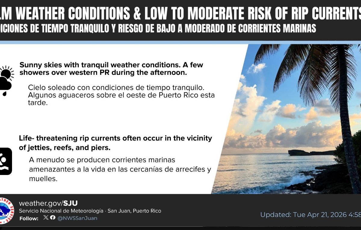
FREDERIKSTED — The National Weather Service in San Juan confirmed early Tuesday that a stable weather pattern will hold firm across the U.S. Virgin Islands through at least midweek.
The Daily Breakdown
- Sky Conditions: Residents can expect mostly sunny skies to prevail. While the regional outlook is dry, the NWS isn’t ruling out the occasional passing shower drifting over the islands today and tomorrow.
- Puerto Rico Interior: Journalists and travelers heading to the big island should note that while most of the region remains dry, afternoon showers are still expected to develop consistently along the interior and western corridors of Puerto Rico.
Marine & Safety Alert
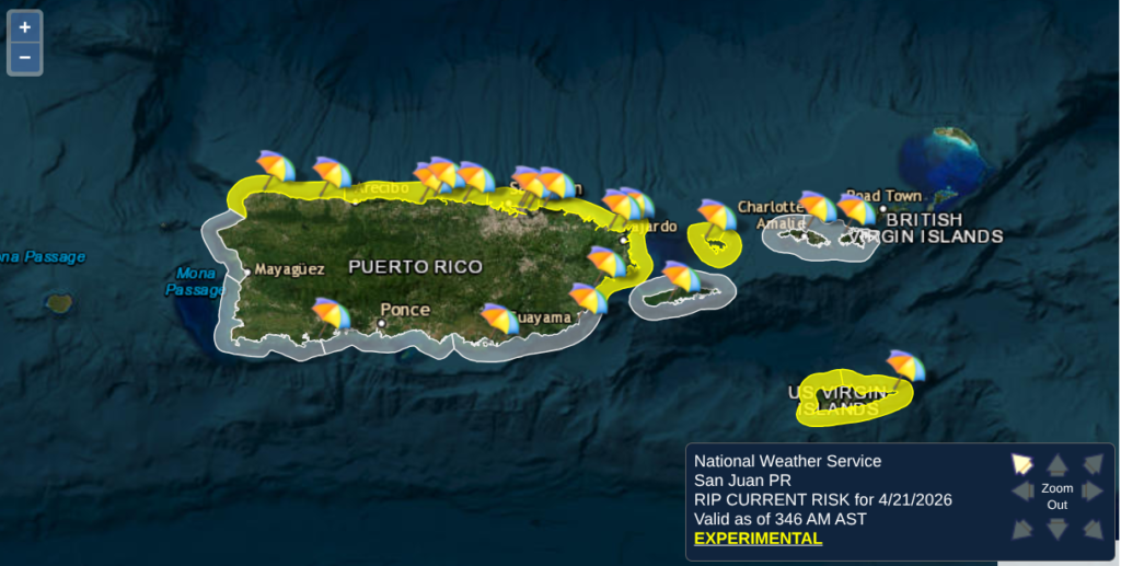
The NWS has issued a Moderate Rip Current Risk valid through at least Wednesday.
- Vulnerability: This risk is highest for the north and east-facing beaches of the Virgin Islands and Puerto Rico.
- Safety Note: Even with “fair weather” overhead, life-threatening rip currents can be present in the surf zone. Swimmers should exercise caution, particularly near reefs, jetties, and the Frederiksted pier.
The Big Picture
Expect mostly sunny skies to dominate the local horizon today and through midweek. A high-pressure system anchored over the north-central Atlantic is steering our weather, keeping things significantly drier than last week. While the sun will prevail, the trade winds may still carry a few isolated, “blink-and-you’ll-miss-them” passing showers across the islands.
Heading to the Beach/Water?
- Rip Current Risk: A moderate risk of rip currents is in effect through Wednesday. Swimmers and beachgoers should remain vigilant, particularly on north and east-facing beaches where life-threatening currents are possible in the surf zone.
- Wind & Seas: Easterly winds will blow at 10 to 15 knots today, with seas holding steady in the 3 to 5-foot range. Conditions are expected to calm slightly by Tuesday night.
Looking Ahead
The fair-weather pattern remains stable for the next couple of days. However, a transition is on the horizon for the latter half of the week. By Friday, moisture from a lingering frontal boundary to our north will begin to drift south, likely bringing warmer temperatures, increased humidity, and a higher chance of scattered showers and isolated thunderstorms heading into the weekend.