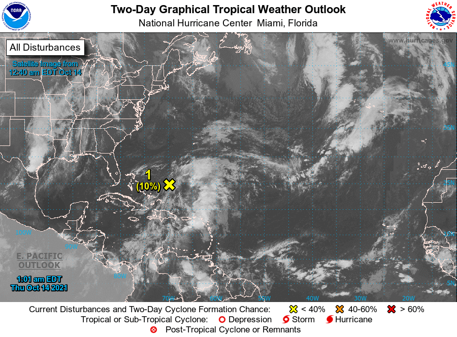
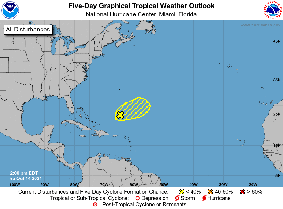
MIAMI — There’s a low pressure system located northeast of the Turks and Caicos, but tropical development is unlikely due to the presence of storm-shredding wind shear, the National Hurricane Center said.
The system has brought heavy rain to areas in the Caribbean for several days. It is expected to speed up and move east today, pivoting away from the islands.
It is expected to interact with a front by tomorrow, ending any chance of further development, forecasters said. It has been given a 10 percent chance of developing.
With roughly six weeks left in the Atlantic hurricane season, which runs through Nov. 30, activity in the tropics could heat up again.
“Sometimes [Florida] is more vulnerable [to tropical storm or hurricane development] in October than any other month,” said AccuWeather Hurricane Expert Dan Kottlowski.

This is due largely to the fact that the Atlantic Ocean begins to cool in the fall, but ocean waters around Florida and the Caribbean stay warmer longer. And warm water temperatures support tropical storm development.
“Florida has been hit by about a dozen major hurricanes in the month of October since records began in 1851, which is more than any other state,” according to AccuWeather.
If one more storm or hurricane were to form this season, 2021 would rank third in the record books for the most named storms to develop in one hurricane season. Wanda is the only name remaining on this year’s list of official storm names.
Only twice before, in 2005 and 2020, was the list of storm names entirely used in a hurricane season, according to AccuWeather.
Meanwhile, the remnants of Tropical Storm Pamela, which originated in the Pacific Ocean, took a path across Mexico into Texas, where it is forecast to bring widespread downpours and possibly some flooding Thursday
Forecasters said as much as 8 inches of rain could deluge central to northeastern Texas and parts of Oklahoma into tomorrow.


