MIAMI — Things are a bit calmer in the Atlantic this morning but there’s still a significant amount of activity.
While Tropical Storm Gordon continues to churn, it’s a number of tropical waves that are getting attention. Here’s the Tuesday update from the National Hurricane Center:
After becoming a bit better organized Monday evening with persistent deep convection over the low-level center, Gordon’s convective organization has been steady during the overnight hours.
.Gordon’s intensity forecast is challenging. Environmental conditions appear moist enough for Gordon to at least maintain its intensity during the next couple of days, given the weak vertical
wind shear and warm sea-surface temperatures.
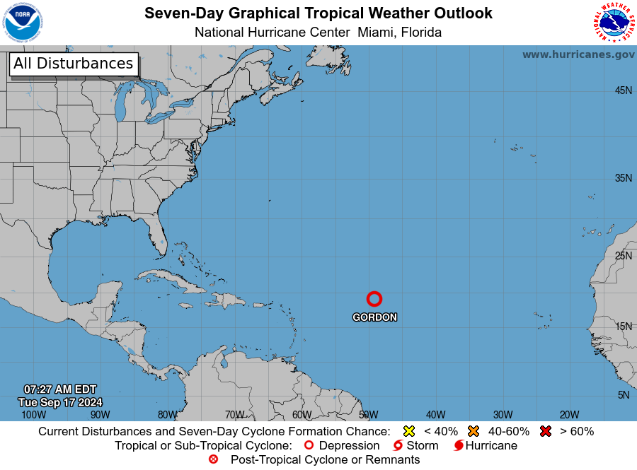
However, global models do not show Gordon intensifying much during the next couple of days as the cyclone interacts with a weakening non-tropical low, currently located north of Gordon.
Some strengthening is likely once Gordon moves past this feature, but there is quite a bit of
uncertainty in what the upper-level winds will look like over the cyclone in the day three to five period.
The GFS model shows moderate southwesterly shear during that time, whereas the ECMWF and other global models suggest stronger shear from the west or northwest, which would be a less favorable direction and would likely prevent further strengthening.
As a result, there is a large spread in the intensity guidance, leading to below average confidence in the NHC intensity forecast.

The NHC intensity forecast is similar to the previous one, and remains near the low end of the intensity guidance through the forecast period.
No tropical cyclone formation is expected over the next seven days.