
SAN JUAN — As model guidance has consistently indicated, we are now experiencing a transition into a wetter and more unstable weather pattern, evident in today’s shower and thunderstorm activity, Ian Colon-Pagan of the National Oceanic and Atmospheric Administration (NOAA) said today.
With various features coming into alignment over the next few days, we can expect an increase in shower and thunderstorm development, some of which may produce heavy rainfall, frequent lightning, and gusty winds, according to Colon-Pagan.
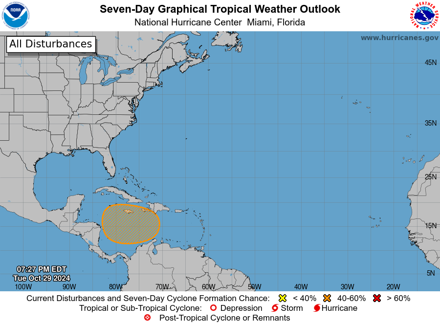
“There are still uncertainties regarding how this weather will evolve in the coming days, particularly concerning a tropical disturbance early next week,” he said.

In the meantime, there is currently an elevated risk of excessive rainfall for this event between tomorrow and Saturday, NOAA said.
The highest risk is expected across eastern Puerto Rico, Vieques, Culebra, and the U.S. Virgin Islands, with the most intense and frequent activity likely occurring between Thursday afternoon and late Friday night, according to NOAA.
Please refer to the Flood Potential or Hydrologic Outlook (ESFSJU) for additional details.
