
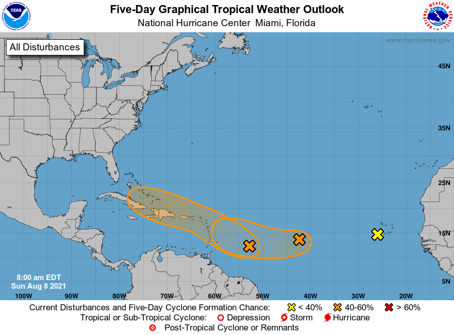
MIAMI — A cluster of storm clouds approaching the Caribbean Sea stands a 30 percent chance of forming a tropical depression, a slight increase in its chances from yesterday, according to the 8 a.m. update from the National Hurricane Center.
It is forecast to move west-northwest across the eastern Caribbean Sea starting Tuesday and into mid-week.
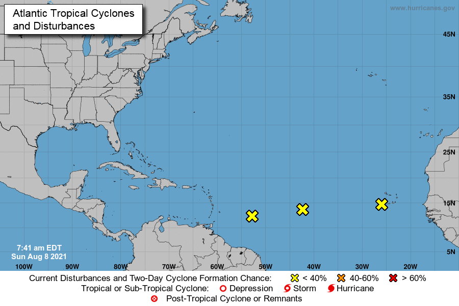
The disturbance is one of three being watched in the Atlantic, as storm activity picks up with the approach of the peak of hurricane season.
Each is being monitored for possible formation of a tropical cyclone, a rotating storm system that could range in strength from tropical depression to tropical storm to hurricane. It’s possible none of them will.
A system, located just off the African coast, has diminished, forecasters said today. Strong upper-level winds and cooler waters are expected to prevent it development, the National Hurricane Center said. Its odds dropped from 20% on Saturday to near 0 percent early today.
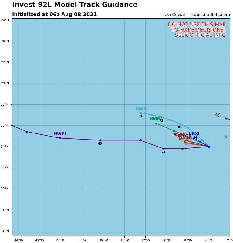
Of the three systems, the one most likely to form a tropical depression is a region of stormy weather over the middle of the Atlantic.
The “small but well-defined area of low pressure” will encounter favorable conditions and may become a tropical depression by the middle of next week, the hurricane center said.
It has been given a 40% chance of developing,
It is forecast to move toward the west-southwest or west during the next couple of days, and then move a little faster to the west by mid-week.
If it develops it would be the first tropical cyclone to form in the Atlantic in more than a month, since the July 1 appearance of the storm system that would become Hurricane Elsa. The number of storms is likely to increase in frequency over the next few weeks, as the season ramps up toward its September peak.
2009 was the last year a storm was not named between July 10 and Aug. 3, according to Philip Klotzbach, Colorado State University meteorologist.
Though water temperatures are plenty warm, which is favorable to storm development. Other factors are in play.
“Pockets of dry air across the eastern and central Atlantic will continue to inhibit the development of the tropical waves crossing the basin,” AccuWeather Senior Meteorologist Dan Pydynowski said.
It’s too soon to say whether any of the systems would be a threat to land. If a system reaches tropical storm strength, it would get a name. The next two names on the list are Fred and Grace.
The area off the Cabo Verde Islands is a traditional spawning ground for the majority of Atlantic hurricanes that emerge in Augustc. The frequency of storm starts increasing in early August and reaches its high point around Sept. 10.
These disturbances generally move west across the Atlantic Ocean towards the Caribbean.
AccuWeather, the private forecasting service, said storm activity in the Atlantic may be picking up, after a month of quiet.