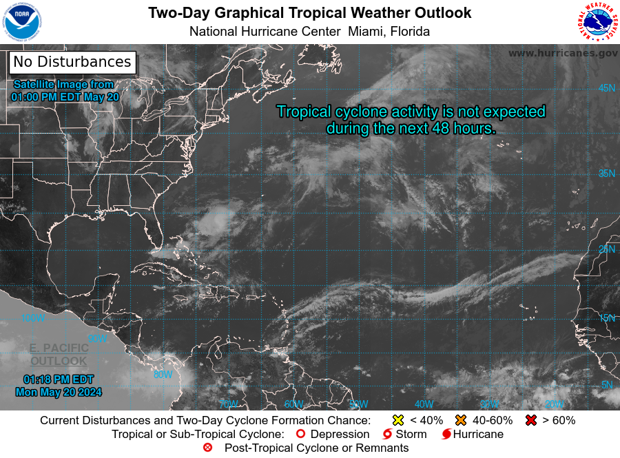
SAN JUAN — An increase in shower and thunderstorm activity, driven by abundant moisture and unstable conditions (deep layered trough), will result in an enhanced risk of flooding across Puerto Rico and the Virgin Islands from Wednesday onwards.
A significant increase in moisture caused by an approaching mid to upper level trough, and a developing surface low pressure system will result in an enhanced risk for flooding later this
week across Puerto Rico and the Virgin Islands.
The rain is expected to reach the islands in pulses. The first episode should reach the area on Wednesday, with showers moving from the Caribbean Sea into the Virgin Islands, and across the
southern and eastern half of Puerto Rico.

Another pulse is expected to reach the islands on Thursday, with lingering effects into Friday. The moisture field associated with this trough is expected to be around through at least late Saturday.
Prolonged periods of moderate to locally heavy rainfall will enhance the risk of flooding, river rises, and mudslides. It is possible that some rivers overflow, and that flash floods develop as well. The users are advised to stay tuned to weather updates, especially those that live or commute in flood prone areas.